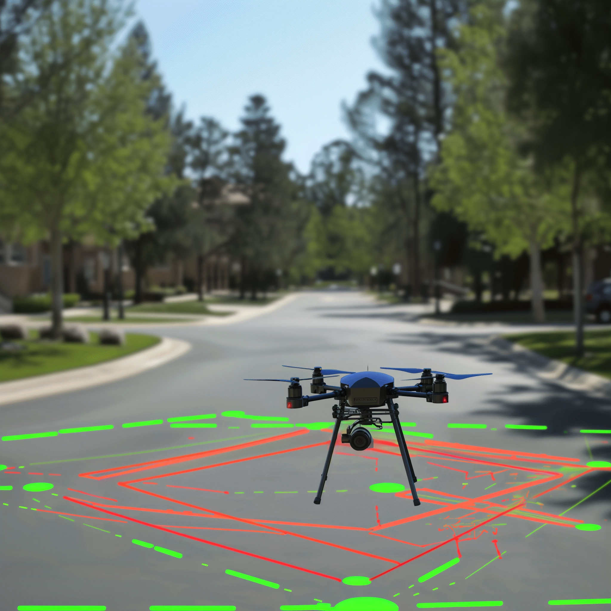
Exploring SLAM Algorithm in Drone Simulations
Precision Mapping in Simulated Jungle Environments

Project Overview
Robotics
This project delves into the technical exploration of the SLAM (Simultaneous Localization and Mapping) algorithm through drone simulations in a jungle-like environment. The primary objective is to accurately estimate the positions of various obstacles, such as trees, and the drone itself, given pre-scripted movements and sensory inputs. The simulation challenges the SLAM algorithm to adapt to a dense, tree-filled terrain, where the drone's sensors provide key measurements for navigation. The focus is on enhancing the algorithm's capability to dynamically map the environment while simultaneously tracking the drone's location, crucial for navigating in GPS-restricted or complex areas. This technical exploration aims to advance understanding and application of SLAM in autonomous drone navigation under constrained and unpredictable conditions.


